

Click an image to view that gallery.
There are additional uncategorized photos down the page.
Images marked as "Blog Post" open the external blog site post in a new tab or window.
In those posts, please click a photo to view the photos in their large size, for most enjoyment!
There are many landscape photos from around the American Southwest on my Travel Blog.
To find a particular place, use the linked list of Topics & Locations found in the right-hand column of every blog post.


Uncategorized NM Landscape Photos
Use Navigation Menu, above, for landscapes of specific locations.
I recommend clicking the full-screen icon in the upper right corner of the 360 Panoramas for an immersive view.
360 Panorama of Cabezon Peak Volcano Field
360 Panorama from entrance to Juan Tabo Picnic Area
360 Panorama taken above the Alameda Open Space (City of Albuquerque)
360 Panorama of Red Cliff north of Gilman in the Jemez Mountains

View to the northeast from south of Golden. Storm developing near the Pecos.

View of Albuquerque from the ridge trail atop Sandia Crest.

Looking north toward Jemez Springs.

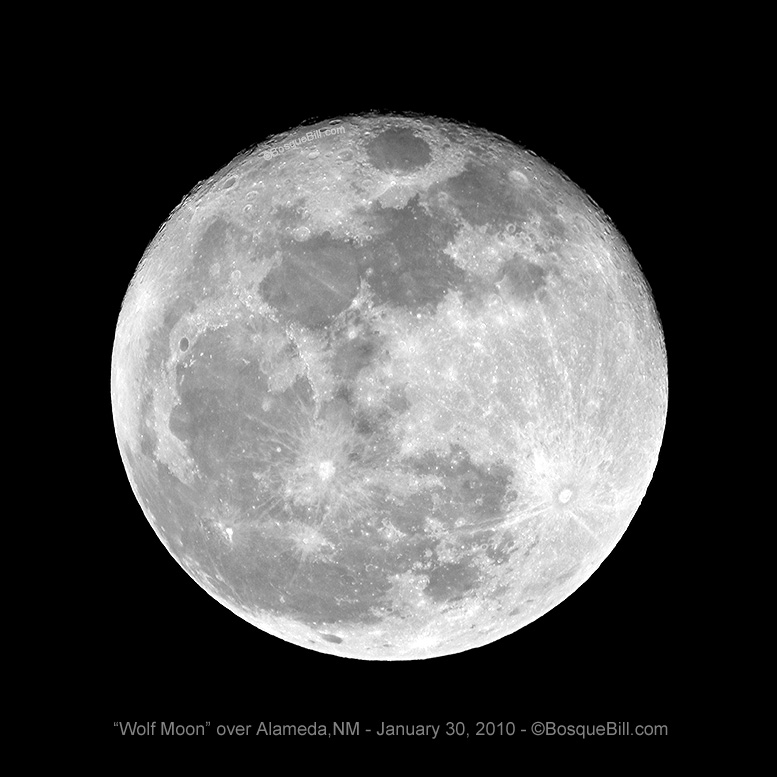
Photo taken in my back yard with my little Nikon P6000 zoomed in about halfway.

Taken in my front yard in Albuquerque's North Valley.
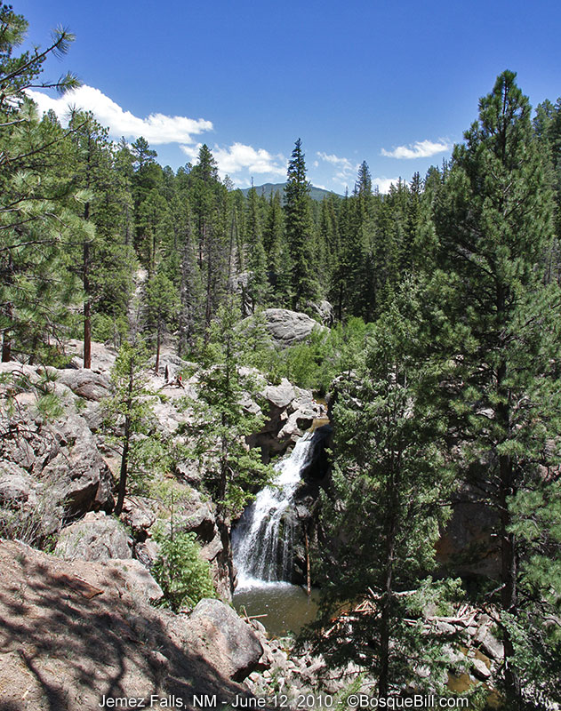
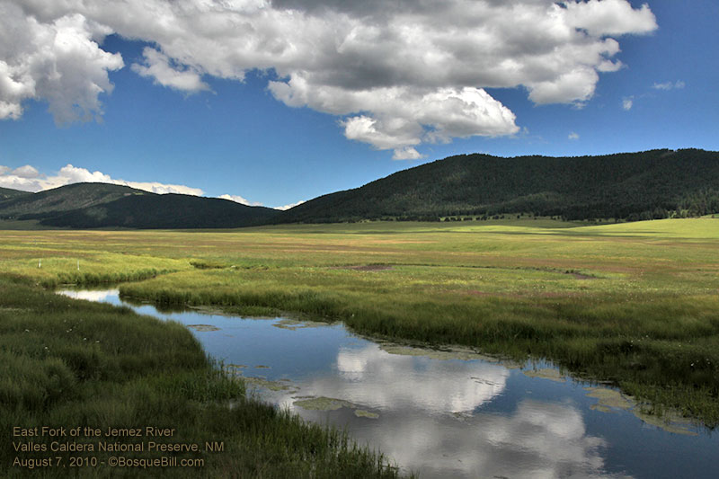
Located in Jemez Mountains, Santa Fe NF, east fork of Jemez River

Sandia Crest is the top of the large mountain just east of Albuquerque.

This is just northeast of Albuquerque.

The final photograph for the decade - an arch bridging the old to the new.

The RGNC State Park is in Albuquerque. Those are the Sandia Mountains in the background.


The VLA is ~50 miles west of Socorro; ~140 miles SW of Albuquerque.


Mt. Taylor behind Budville, NM
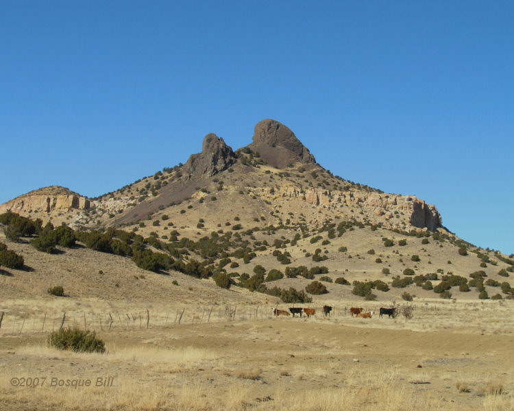
Volcan y Vacas (Cerro Negro N 35° 12'11", W 107° 20'42") east of Seboyeta, NM
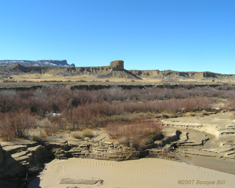
Arroyo Chico, which feeds the Rio Puerco - west of Cabezon Peak
(photo taken from approx. N 35° 35' 34" W 107° 11' 27" bearing ~90°)

Cabezon Peak (photo taken from approx. N 35° 36' 13" W 107° 11' 15" bearing ~95°)
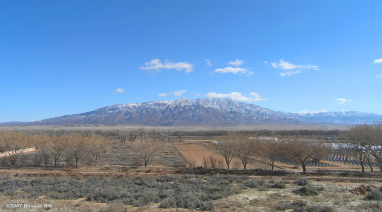
Sandia Mountains with "Trees of Corrales" Nursery in foreground
(photo taken from approx. N 35° 16' 18 " W 106° 36' 25")

Sandias with Apache Plume
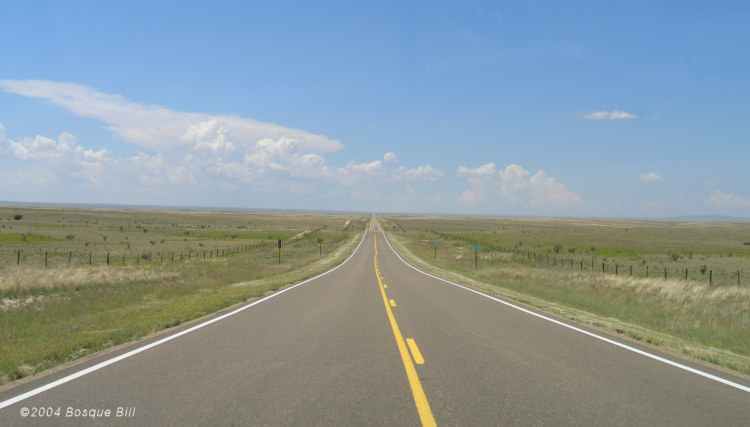
Vanishing Point between Vaughn and Ft. Sumner on US60

Windmill between Willard and Mountainair on US60

Between Ft.Sumner and Melrose on US60