Taken using my digiscoping rig.

Using Macro mode of my Nikon P6000. This is a male Monarch.

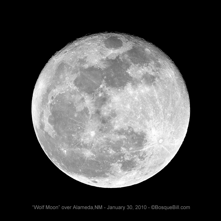
Taken using my digiscoping rig.


Scroll down for a few miscellaneous photos that don't fit easily in the menu categories.
Also, check out my photos on Google+, some are found on this site, but many are only to be found there.
Taken using my digiscoping rig.
Using Macro mode of my Nikon P6000. This is a male Monarch.
Taken using my digiscoping rig.
All photographs © Bosque Bill and may not be used for any purpose without prior written permission.