

2010 Photos

Taken in my front yard in Albuquerque's North Valley.
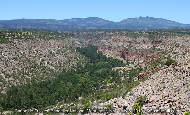
Click image to view full, non-mobile Bandelier NM Gallery
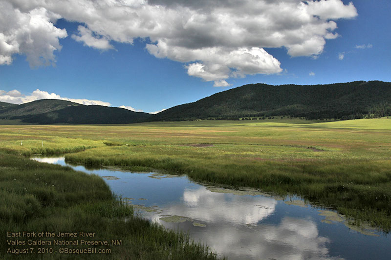
Jemez Mountains, Santa Fe NF, east fork of Jemez River


Sandia Crest is the top of the large mountain just east of Albuquerque.

This is near Socorro, NM, about 90 miles south of Albuquerque.

This is just northeast of Albuquerque.
2009 Photos

The final photograph for the decade:
An arch bridging the old to the new.

The RGNC is in Albuquerque.
Those are the Sandia Mountains in the background.

Taken in the backyard.

The VLA is ~50 miles west of Socorro; ~140 miles SW of Albuquerque.

2008 Photos
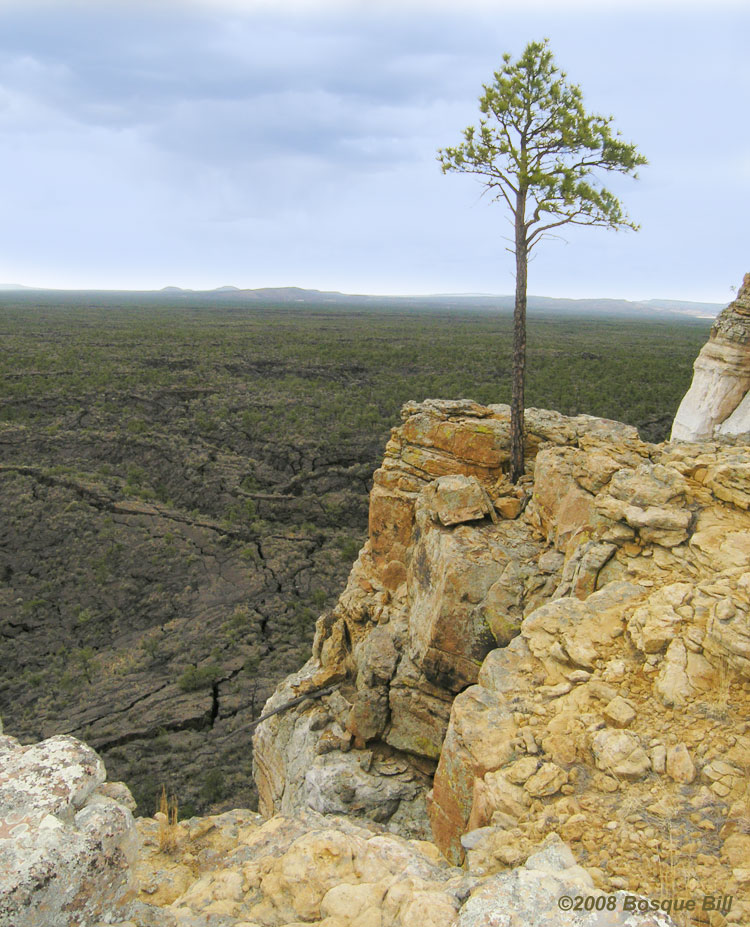
El Malpais Nat'l Monument - View of The Narrows
(N34° 50.49' W107° 55.04' approx.)
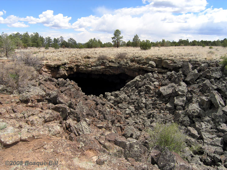
El Malpais Nat'l Monument - Lava Tube, El Calderon Tr.
(N34° 58.14' W108° 00.18' approx.)

El Morro Nat'l Monument - Inscription Pool
(N35° 02.35' W108° 21.03' approx.)
2007 Photos
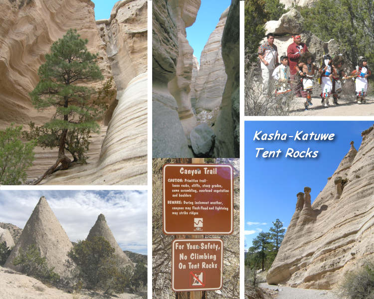
Trailhead: N35° 39 28.0 W106° 24 41.6
Click Image above for more photos.

Mt. Taylor behind Budville, NM
Volcan y Vacas (Cerro Negro N 35° 12'11", W 107° 20'42") east of Seboyeta, NM
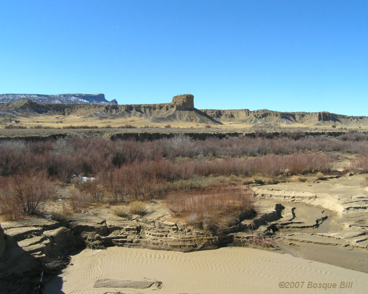
Arroyo Chico, which feeds the Rio Puerco
West of Cabezon Peak
(photo taken from approx. N 35° 35' 34" W 107° 11' 27" bearing ~90°)

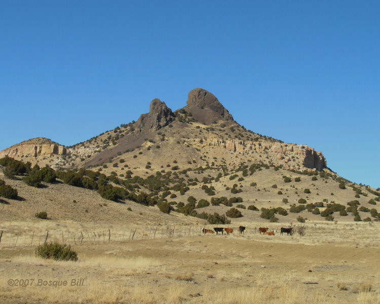
Cabezon Peak (photo taken from approx. N 35° 36' 13" W 107° 11' 15" bearing ~95°)
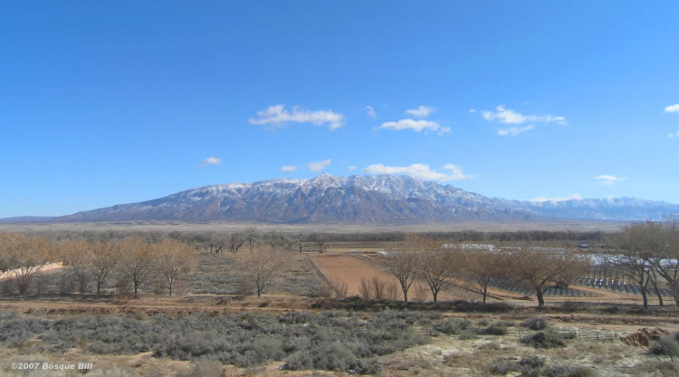
Sandia Mountains
with "Trees of Corrales" Nursery in foreground
(photo taken from approx. N 35° 16' 18 " W 106° 36' 25")
2004 Photos

Sandias with Apache Plume
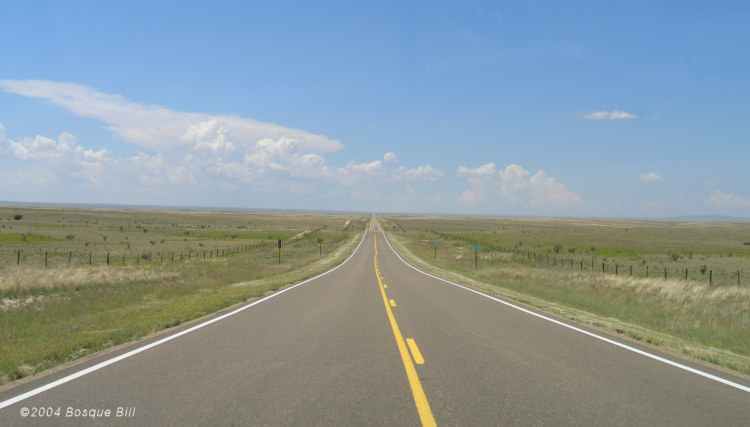
Vanishing Point between Vaughn and Ft. Sumner on US60

Windmill between Willard and Mountainair on US60

South of Jemez Springs on NM4

Between Ft.Sumner and Melrose on US60